Here is a map from the book " North Coast of British Columbia"
By Don Douglass and Réanne Hemingway Douglass.
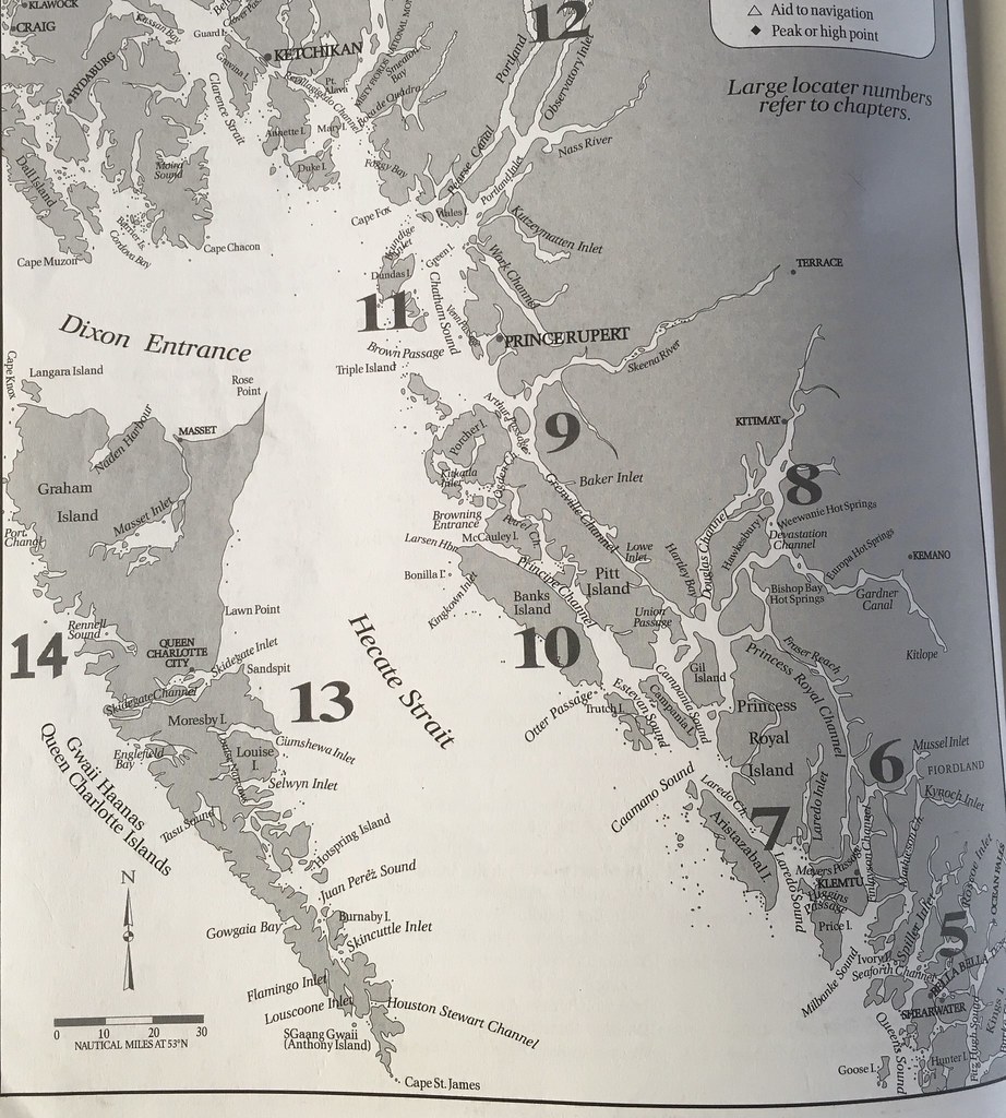
If you start at the bottom of the map around #5 you see Shearwater and Bella Bella. Working north to Klemtu.
We then head north through Laredo Sound and Channel - see #7. That is the east side of Aristazabal Island.
There is an area of open water ( Caamano Sound ) between Aristazabal and Campania that was really rolling and wavy!! We put out the fish - but that's where we waited a little too long and it was quite the roll happening with Jim on the side decks!
North through Estevan Sound - the west side of Campania Island. Then we anchored at Weinberg Inlet.
North through Principe Channel - the east side of Banks Island.
Just north of Banks Island in the Browning Entrance area there is a group of islands called the Spicer Island Group. And we anchored up in there for 3 nights waiting for the right winds and tides to cross Hecate Strait.
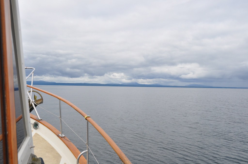
It is 75 nautical miles from the Spicer islands to Sandpit Marina in Haida Gwaii. It is a big area of open water that can have high waves -- 3-4 metres with strong winds. The goal is to cross with very little wind or waves!
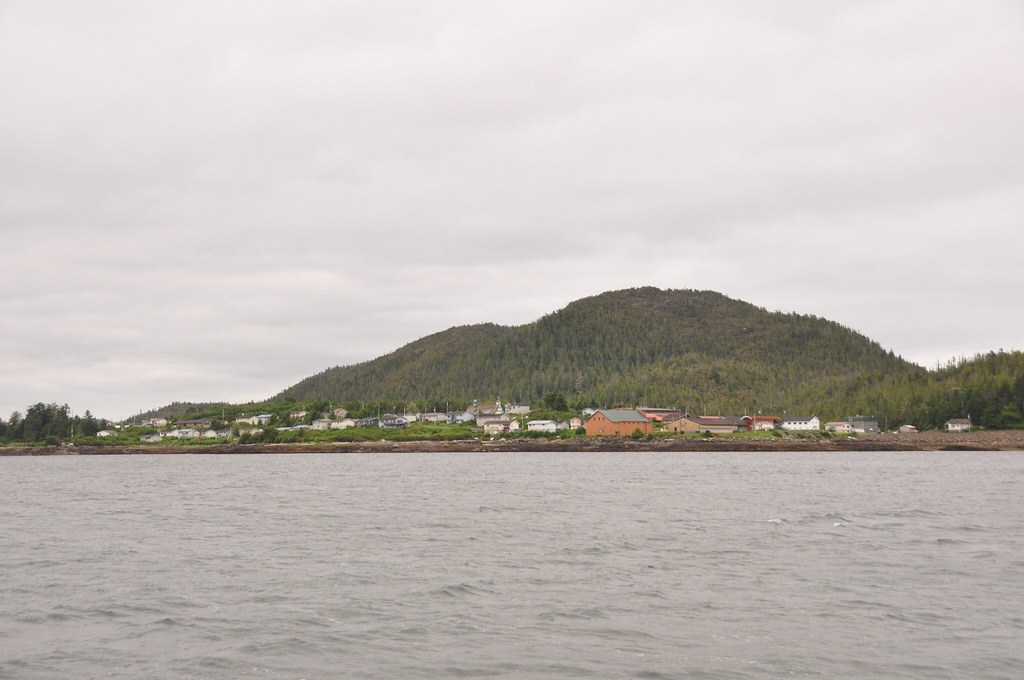
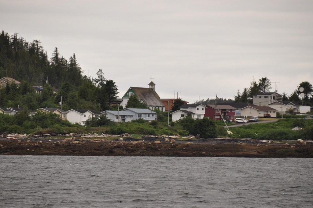
While we were waiting in Spicer there were wind warnings for two of the nights but on the third day the wind came down and we took the boat out for a little motor up to see the village of Kitkatla on Porcher Island.

After our little drive around Kitkatla Inlet we decide we would move to an anchorage at the top of Banks Island. It would be a little closer and cut off about 10 miles of travel the next morning.
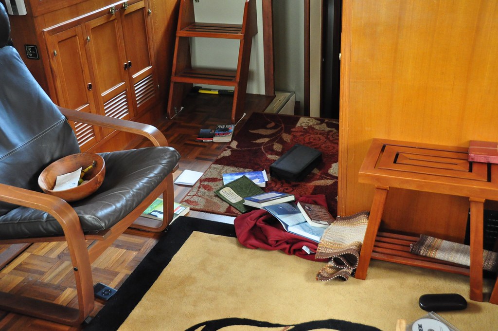
Well - that was quite the event! As we headed out into Browning Entrance the rolling swell and waves kept getting worse and worse and bigger and bigger -- as Coast Guard radio will report -- "waves can sometimes be twice forecast values" it was only going to take an hour to get to the anchorage. As we were being tossed about. Items were falling on the floor - rolling around the decks and we were obviously not expecting that kind of wave action!!
We turned around and went back to Spicer Island group!
We had a lovely evening - the sun came out!
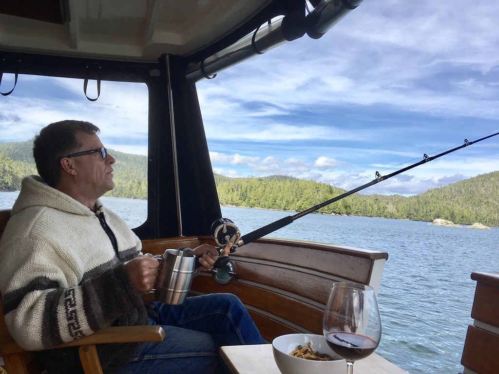
Jim pretended to fish from the big boat!
We were anchored up close to these rocks.

Jim has named them Bra Rocks!
Monday morning we were up at 3:20 AM and set out. It was a 10 hour trip from start to finish
The seas were pretty much flat. A little swell for the first couple of hours and we put the fish in the water and then Jim pulled them out around 9:30 AM.
Hecate Strait. We are stopped and Jim is getting ready to pull the poles.
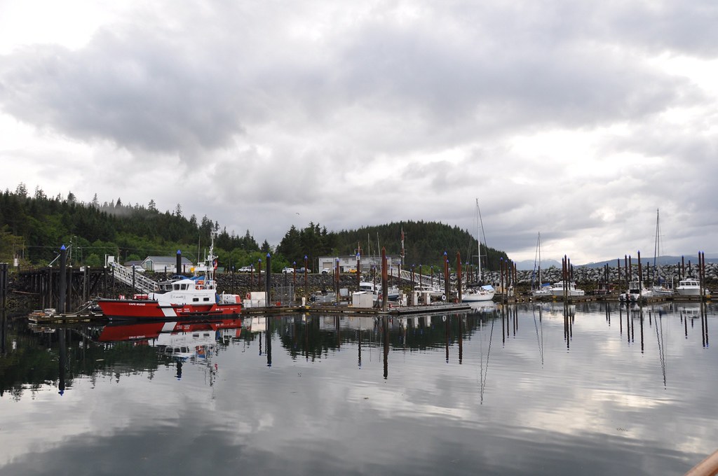
Sandspit Marina. Which is on Morseby Island and Skidegate and Queen Charlotte City is on Graham Island. So a ferry ride is needed to get to the main commercial area.
We have been here for 4 nights. We rented a car and drove to Queen Charlotte City and Skidegate for shopping and a visit to the museum. And yesterday we drove to Masset. It has been raining -- heavy at times yesterday! And windy! We are expecting better conditions tomorrow and we will be heading south to Morseby Camp and then into the Gwaii Haanas Park
We will not have cell service for a while after that.
Posted using BlogPress from my iPad
great map........hope the oceans are settled now and I understand the things now too thankyou.........keep posting loving my sailing trip.....
ReplyDelete